


Table of Contents Show
We’re watching the ground shift under our feet, literally. The expanding role of drones in building design is less hype and more hard-nosed efficiency: faster site intelligence, richer datasets, fewer surprises, and tighter coordination from concept through closeout. With today’s flight platforms, sensors, and workflows, we can move from flyover to BIM in hours, not weeks, and make better design decisions with evidence in hand.
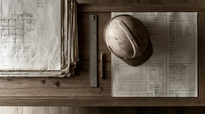
Why Drones Matter Now in Building Design
Two forces brought drones to the front of building design: accuracy and access. We can capture centimeter-grade reality safely and quickly, even on constrained, active, or remote sites. That early clarity sets the tone for the entire project, less rework, fewer RFIs, and designs that reflect the site’s truth.
Speed matters. A sub‑hour flight can cover 50+ acres, generating a high-resolution orthomosaic and a dense point cloud by the next morning. We catch slope breaks, tree canopies, drainage paths, utility scars, details that get missed in spot checks.
Accuracy matters more. With RTK/PPK positioning and solid ground control, we routinely achieve 2–5 cm horizontal and vertical tolerances, good enough to anchor concept massing, grading studies, and early civil coordination. And safety: drones keep us out of traffic, off ladders, and away from unstable ground. It’s hard to argue with better data, faster, with lower risk.
Where Drones Add Value Across The Design Lifecycle
Site Analysis And Feasibility
We start with context. Rapid flights deliver current imagery, surface models, and vegetation patterns. Floodplain edges, solar exposure, prevailing wind corridors, each becomes visible, measurable, and shareable. Feasibility moves from guesswork to quantified scenarios.

Surveying And Constraints Mapping
While drones don’t replace licensed boundary surveys, they supercharge topographic capture. We pair photogrammetry with targeted ground shots to map contours, drainage, walls, fences, and access. Utilities, easements, and environmental buffers are annotated directly on orthomosaics for quick team alignment.
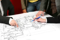
Concept Development And Massing Checks
Concepts live or die on fit. We drop early massing into drone-derived terrain to test cut/fill, sightlines, solar shading, and viewshed impacts. Aerial context helps us position entries, loading, and service yards realistically, before costly redesigns.
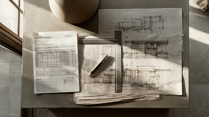
Construction Documentation And As-Builts
Weekly or milestone flights produce date-stamped progress maps, volumetrics for stockpiles, and as-built point clouds. We compare design intent to field reality, flag clashes early, and hand over a verified existing-conditions package at closeout.
From Flight To File: Data Capture And Accuracy
Photogrammetry Vs LiDAR
Photogrammetry (lots of overlapping images) delivers detailed textures and high-density point clouds at low cost, great for facades, roofs, and open sites. Drone LiDAR shines in vegetation or low-texture surfaces, penetrating canopy and handling complex geometry with fewer artifacts. We often blend both: LiDAR for surfaces, photogrammetry for crisp visuals.

Thermal And Multispectral Imaging
Thermal flights reveal roof moisture, envelope leaks, and HVAC anomalies: early scans during commissioning catch issues before punch lists bloat. Multispectral helps on campus-scale or landscape-heavy projects, tree health, soil compaction, and drainage stress show up clearly.
Ground Control, Checkpoints, And Tolerances
Great flights still need great control. We place Ground Control Points (GCPs) and independent checkpoints, and we fly with RTK/PPK to lock positions. On design projects, our typical target is 3 cm RMSE horizontally, 4–5 cm vertically. We document camera calibration, overlap (≥75/70), and wind limits so accuracy is defensible, not just optimistic.
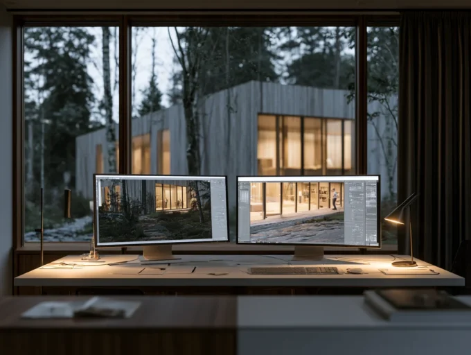
Turning Reality Into Design: BIM And Collaboration
Importing Point Clouds And Meshes Into BIM
Clean in, clean out. We filter noise, classify ground vs. structures, and decimate just enough to keep models responsive. Then we bring point clouds/meshes into Revit, Archicad, or Civil 3D as a shared coordinate reference. The payoff: doors, ramps, and site elements snap to real grades, not assumed ones.
Reality Capture For Renovations And Existing Conditions
For renovations, drones pair with terrestrial scanning. Exterior flights cover roofs, courtyards, and elevations: interior LiDAR fills in the guts. The combined dataset slashes site visits and reduces “unknowns,” letting us price and phase with confidence.
Client Reviews, VR/AR, And Remote Collaboration
Clients love seeing their site as it is today. We host web viewers, drop models into VR walkthroughs, and use AR overlays on tablets during field walks. Remote teams can measure, mark up, and resolve issues asynchronously, no plane tickets required.

What’s Next: Real-Time Twins And AI-Assisted Analysis
Low-latency video, edge processing, and cloud pipelines are pushing toward near-real-time digital twins. AI is already assisting, automatic defect detection, material counts, progress percent complete. We expect tighter loops: fly, analyze, decide, iterate, in a single workday.
Risk, Compliance, And Building A Sustainable Workflow
Regulations, Airspace, And Insurance Basics
We operate within local laws, FAA Part 107 in the U.S., EASA/CAA frameworks in Europe/UK. That means airspace checks, waivers for night or BVLOS (where permitted), and documented pilot certification. We carry aviation liability insurance and follow manufacturer maintenance schedules.

Site Safety, SOPs, And Permitting
Standard operating procedures keep people and property safe: preflight checklists, geofencing, observer roles, and clear site communication. We coordinate with GC superintendents, post NOTAMs when needed, and avoid overflight of uninvolved people. Permits and privacy notices aren’t optional.
In-House Vs Partnered Operations And Budgeting
Running drones in-house offers responsiveness: partnering with specialist providers delivers scale, sensors, and redundancy. Many firms choose a hybrid model. Budget line items should include hardware, training, software/processing, insurance, and contingency for sensor upgrades.
KPIs, QA/QC, And ROI Tracking
We track metrics that matter: capture-to-delivery time, positional accuracy, RFI reduction, rework avoided, schedule days saved, and safety incidents (ideally zero). A simple ROI model ties drone costs to measurable deltas in design hours, change orders, and claims.
Conclusion
Drones aren’t a novelty in building design anymore, they’re infrastructure. When we integrate flight planning, control, and model-ready processing into our standard workflow, we cut noise from decisions and bring projects to ground truth faster. The expanding role of drones in building design isn’t about cool aerials: it’s about accuracy, clarity, and momentum. Fly smart, measure once, design right.
- 3D mapping drones
- aerial imagery in design
- aerial surveying drones
- architectural drone services
- building design innovation with drones
- construction drones
- drone building design
- drone photogrammetry for architecture
- drone site inspection
- drone technology for architects
- drone-based building analysis
- drones for construction progress monitoring
- drones for environmental analysis
- drones for site analysis
- drones in architecture
- drones in civil engineering
- drones in construction
- drones in infrastructure projects
- integrating drones in design
- UAVs in building design


Leave a comment