


Table of Contents Show
Drones in architecture give designers a fast, low-cost way to study a site before design begins. By capturing aerial imagery and turning it into topographic maps and 3D models through photogrammetry, drones reveal terrain, access points, and surrounding context that ground surveys often miss, all within a single afternoon flight.
A good design starts with understanding the ground it sits on. For years, that meant walking a plot with a tape measure, a camera, and a clipboard, then waiting on a surveyor for the numbers that mattered. Drone technology has compressed that process from days into hours. One flight can produce hundreds of overlapping images that software stitches into a measurable map of the whole site, slope and all. This guide walks through how to use a drone for site analysis step by step, including the gear, the workflow, and the legal side that most tutorials skip.
What Are Drones Used for in Architectural Site Analysis?
In site analysis, drones are used mainly to capture aerial data that ground-level observation cannot reach. A camera-equipped drone flies a planned path over the plot, records overlapping photos, and feeds them into software that builds maps and 3D models. The result is an accurate picture of the land before a single line is drawn.
Most architectural uses fall into five categories:
- Aerial site mapping and orthomosaic photos that show the plot and its boundaries from above
- Topographic surveys that record elevation, slope, and drainage patterns
- 3D terrain and point-cloud models that import directly into design software
- Context and sightline studies of neighboring buildings, roads, and views
- Inspection of roofs, facades, and other spots that are awkward or unsafe to reach on foot
Each of these feeds the early decisions that shape a project: where to place the building, how to orient it, and how it sits in its surroundings. For a wider view of the methods these flights support, our guide to architectural site analysis techniques covers the ground-based studies that pair well with aerial data. ArchDaily also has a useful overview of how firms put drones to work in practice.
📌 Did You Know?
A single mapping drone can survey a 100-acre site in under an hour, work that once took a ground crew several days. According to DroneDeploy, this jump in speed is a big reason aerial mapping has become a routine step in site planning and construction.
Benefits of Using Drones in Architecture
The case for drones in architecture comes down to four things: speed, cost, safety, and accuracy. A drone covers in one flight what a survey crew might spend days measuring on foot, and it does so without putting anyone on a roof, a cliff edge, or a busy road. The data it returns is current, detailed, and tied to real coordinates.
Cost is the benefit most firms notice first. Renting or buying a mapping drone is a fraction of the price of repeated surveyor visits, and the same flight produces marketing visuals and progress records as a bonus. Accuracy is the benefit that matters most for design, since modern positioning systems let a drone map a site to centimeter-level precision, close enough to drive real layout and grading decisions rather than rough impressions.
There is also a communication payoff. A clear aerial map or a flythrough video helps clients and planning boards read a site far more quickly than a stack of 2D drawings, which tends to smooth approvals and feedback.
How to Use Drones for Site Analysis: A 5-Step Workflow
Using a drone for site analysis follows a repeatable sequence: plan, equip, fly, process, then analyze. Each step affects the quality of the final model, so it pays to slow down on the early ones.
Step 1: Define the Site and Plan the Flight
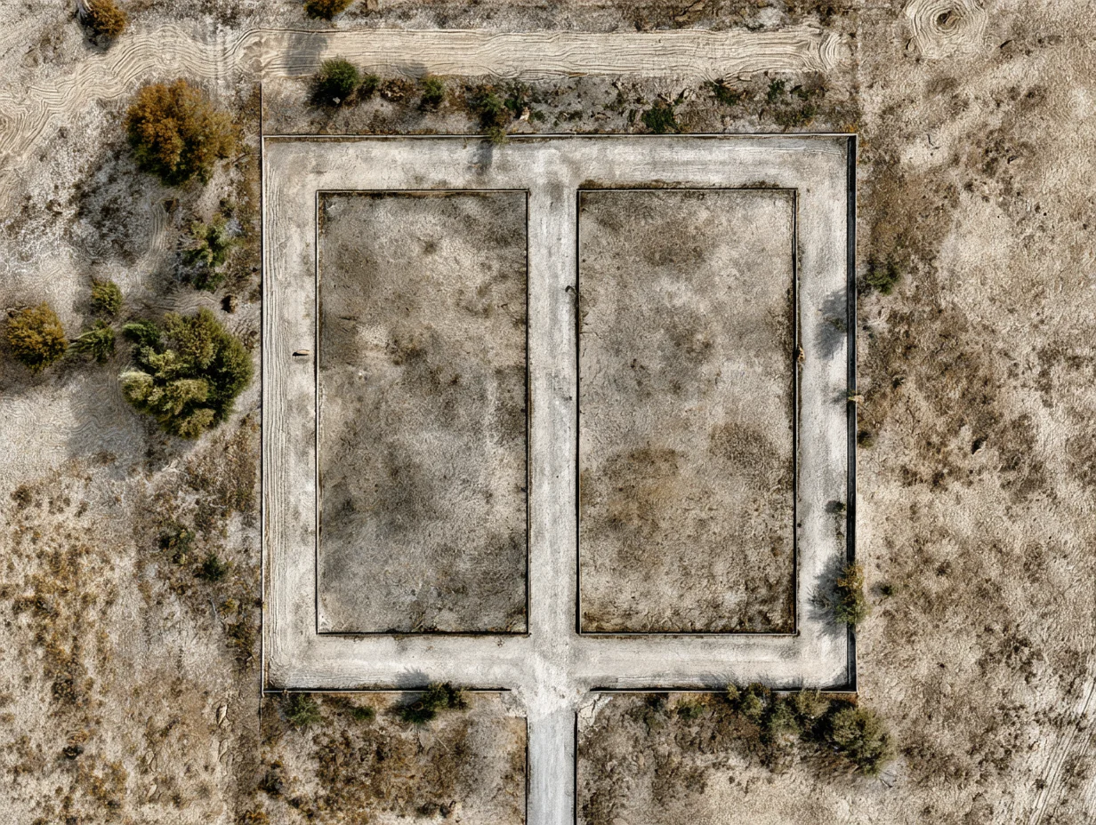
Start by marking the area you need to cover and the data you want out of it. A flat infill lot needs a simple grid, while a sloped or wooded plot needs more passes and careful altitude planning. Apps from the main drone makers let you draw the boundary, set the altitude, and define how much each photo should overlap the next. Before anything takes off, confirm that the airspace is open and that you are cleared to fly there.
⚠️ Common Mistake to Avoid
Flying too high or too fast leaves gaps between photos that software cannot stitch into a complete model. Set altitude and speed so consecutive images overlap heavily, and run a short test pass over a small section before committing to the full grid.
Step 2: Choose the Right Drone and Sensors
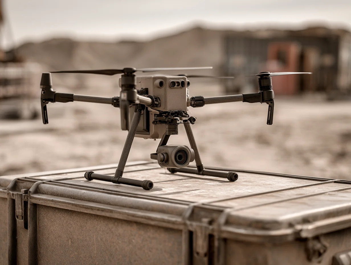
The drone you pick depends on the accuracy you need. For context shots and early visualization, a consumer model with a good camera is enough. For topographic surveys that feed grading and layout, you want a drone with RTK or PPK positioning. For sites under heavy tree cover, a LiDAR sensor can read the ground through vegetation that blocks a normal camera.
Drone Options for Site Analysis at a Glance
The table below sums up which type of drone fits which kind of site work:
| Drone Type | Positioning | Best Use in Site Analysis |
|---|---|---|
| Consumer or prosumer camera drone | Standard GPS | Context views, sightlines, and early visualization |
| Mapping drone with RTK or PPK | Centimeter-level | Topographic surveys, grading, and accurate base maps |
| LiDAR-equipped drone | RTK plus laser scanning | Wooded or complex terrain and dense point clouds |
Whatever hardware you choose, the data it captures is only as useful as the software that processes it. Platforms such as DroneDeploy and Pix4D turn raw drone photos into maps and 3D models, and both export to the CAD, BIM, and GIS formats architects already use. To compare drone-mounted capture with other survey tools, our look at tech tools for 3D scanning in architecture sets them side by side.
Step 3: Fly the Site and Capture the Data
With the plan loaded, most mapping flights run on autopilot. The drone follows the grid, holds its altitude, and triggers the camera at set intervals so the photos overlap as planned. For buildings and facades, add a few manual oblique passes at an angle, since straight-down images alone cannot model vertical surfaces well.
💡 Pro Tip
Fly early in the morning or late in the afternoon when the air is calm and shadows are long. Low wind keeps the drone steady for sharper images, and raking light makes slope and surface texture much easier to read in the final map.
Step 4: Process the Imagery into Maps and Models
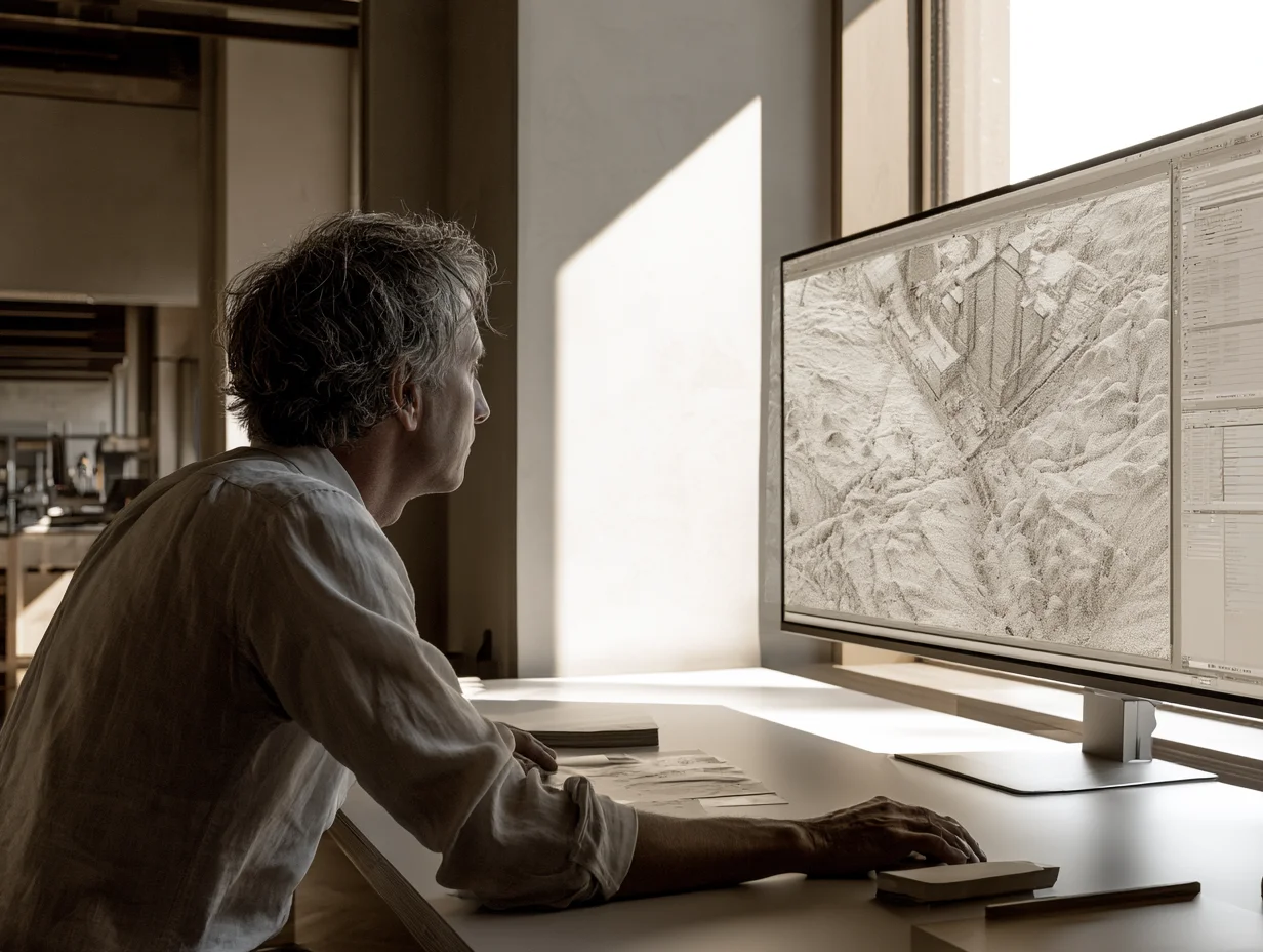
Once the photos are captured, the software does the heavy work. It matches common points across overlapping images and rebuilds them into an orthomosaic (a scaled, corrected top-down map), a digital surface model of elevations, and a 3D point cloud. Cloud platforms can return these in a few hours, while desktop tools give more control at the cost of processing time.
📐 Technical Note
For reliable photogrammetry, plan for roughly 70 to 80 percent front overlap and 60 to 70 percent side overlap between images. Drones using RTK or PPK positioning with ground control points can reach centimeter-level accuracy, while standard GPS typically lands within a few meters.
From there, the outputs drop into the rest of the design stack. An orthomosaic becomes a scaled base map, a point cloud becomes 3D context, and elevation data drives slope and drainage studies. Our guide to architectural visualization tools and workflow shows where point clouds and photogrammetry fit alongside the modeling software you already run.
Step 5: Analyze the Site and Feed It into Design
The final step is reading the data and putting it to work. With an accurate model in hand, you can study sun paths against real terrain, test sightlines to and from the plot, check how water moves across the slope, and measure cut and fill for earthworks. These are the same questions a manual site analysis asks, answered against precise ground data rather than estimates.
💡 Pro Tip
Bring the orthomosaic into your CAD or BIM file as a scaled underlay before you start massing. Drawing over an accurate aerial base keeps early concepts anchored to real boundaries and setbacks, which cuts rework once the formal survey arrives.
For smaller interiors or as-built work where a full drone survey is overkill, phone-based capture can fill the gap. Our roundup of 3D-scanning apps for architects covers tools that handle that scale.
Drone Regulations and Legal Considerations
Flying a drone for professional work is regulated almost everywhere, and architecture is no exception. In the United States, any drone flight tied to business or compensation falls under the Federal Aviation Administration’s Part 107 rule, which requires a remote pilot certificate. The FAA’s commercial drone operator guidance lays out certification, registration, and the airspace rules you have to follow.
The common limits are easy to summarize: keep the drone within sight, stay below the height ceiling set for your area, avoid controlled airspace near airports unless you have authorization, and equip the drone with Remote ID so it can be identified in flight. Many firms that fly often hire a certified pilot or use a service that dispatches one, which keeps the legal responsibility with a specialist.
Drone regulations vary by country and sometimes by city. The rules described here reflect common requirements, but always confirm the current laws and airspace restrictions with your local aviation authority before flying.
Where to Go From Here
Your Next Step: Pick one upcoming or past project and plan a single mapping flight over its site, even as a practice run. Draw the boundary in a flight-planning app, set your overlap, and process the photos into an orthomosaic. Seeing your own site as an accurate aerial model is the fastest way to understand where drone data earns its place in your workflow.
Frequently Asked Questions
Do you need a license to fly a drone for architecture?
In most countries, yes, if the flight is for business. In the United States, commercial drone work requires an FAA Part 107 remote pilot certificate, which means passing a knowledge test. Recreational flying has lighter rules, but any flight connected to a paid project counts as commercial.
How accurate is drone mapping for site analysis?
It depends on the drone and method. A standard drone with normal GPS maps to within a few meters, which suits context and visualization. A drone with RTK or PPK positioning, paired with ground control points, can reach centimeter-level accuracy that is reliable enough for grading and layout.
Which software do architects use to process drone data?
Common choices are DroneDeploy, Pix4D, and Autodesk tools, which convert overlapping photos into orthomosaics, elevation models, and 3D point clouds. These export to formats that open in CAD, BIM, and GIS programs such as Revit, Rhino, AutoCAD, and ArcGIS.
Can drones replace traditional land surveyors?
Not entirely. Drones speed up data collection and cover large or awkward sites quickly, but many jurisdictions still require a licensed surveyor to certify boundary and legal documents. In practice, drones support surveyors rather than removing the need for them.
How much does a survey-capable drone cost?
Prices range widely. A capable consumer drone for context imagery starts in the low hundreds, while an RTK mapping drone built for survey-grade work runs into the thousands. Software is usually a separate subscription, so many firms rent hardware or outsource flights until the volume makes buying worthwhile.








Leave a comment